Road Signs Practice Test
A longer test of your road sign knowledge: 30 questions from every category of sign, with a pass mark of 86%. That is the same percentage as the multiple-choice part of the car theory test (43 out of 50).
30 questions, about 8 to 15 minutes
Difficulty: Mixed, easy to hard
- Multiple choice
- Explanation after every answer
- No timer
- No sign-up
Want the real test's format? Take a full mock test: 50 questions in 57 minutes, with flagging and a review screen.
How it works
These are not the real theory test questions. They are written to check you know the signs, with an explanation after every answer and no time limit. To pass, you can get no more than 4 wrong.
Answer 30 questions
Multiple choice, picked at random from 320, with the answers shuffled. There's no timer.
Learn as you go
After every answer you'll see the right answer and why, with a link to the sign.
Practise your mistakes
At the end, retry the questions you missed or review every answer.
What's in this quiz
The questions cover 261 signs and test whether you can tell apart signs that look or sound alike, such as Horses or ponies and No horses, or Advised speed and Speed limit. A sign's shape gives you a head start: circles give orders, triangles warn and rectangles inform.
See all 261 signs in this quiz
Warning signs
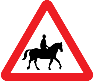 Accompanied horses or ponies
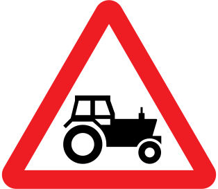 Agricultural vehicles
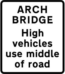 Arch bridge: high vehicles use middle
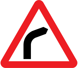 Bend ahead
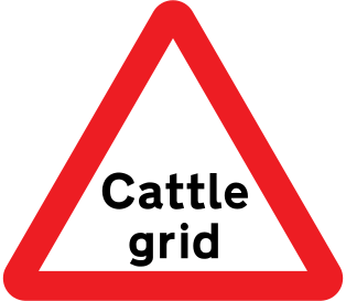 Cattle grid
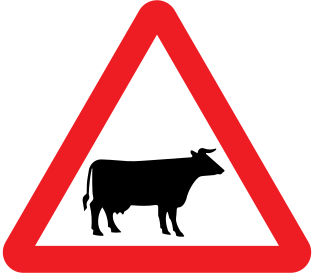 Cattle
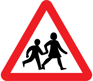 Children going to or from school
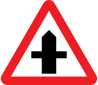 Crossroads
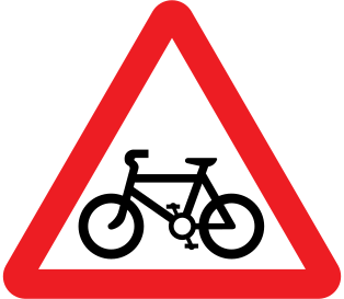 Cycle route crossing ahead
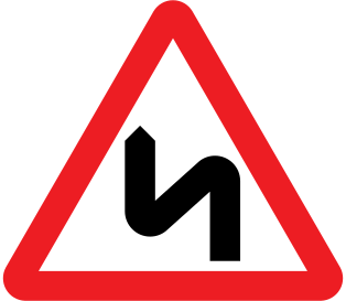 Double bend
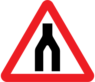 Dual carriageway ends
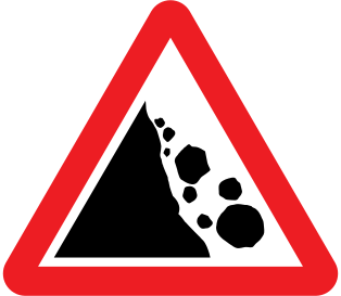 Falling or fallen rocks
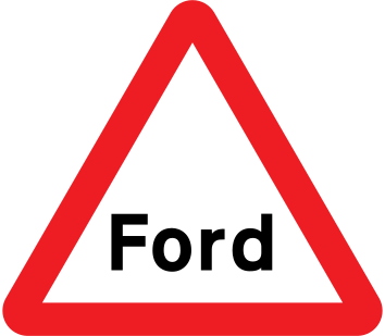 Ford
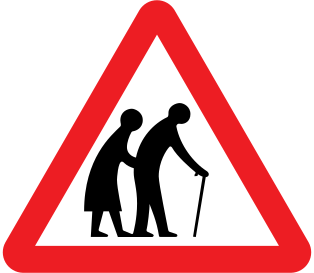 Frail pedestrians
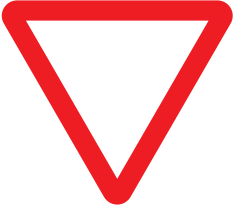 Give way ahead
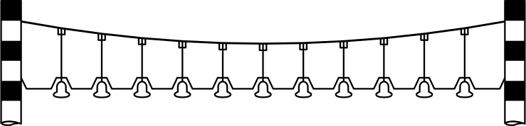 Height warning bells
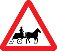 Horse-drawn vehicles
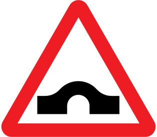 Hump bridge
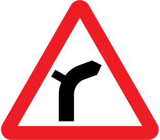 Junction on a bend
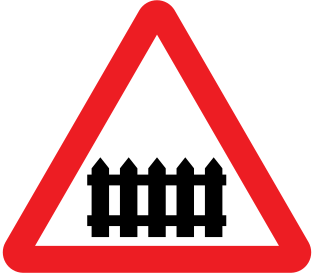 Level crossing with barrier or gate
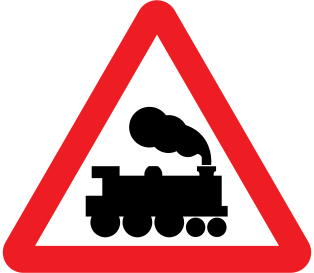 Level crossing without barrier or gate
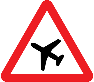 Low-flying aircraft
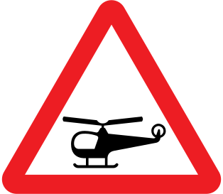 Low-flying helicopters
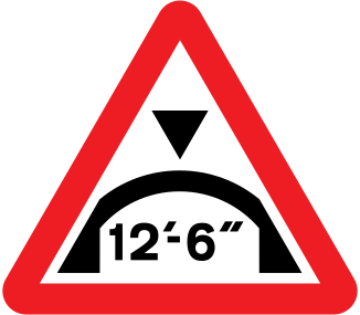 Maximum headroom
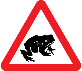 Migratory toad crossing
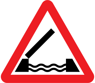 Opening or swing bridge
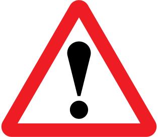 Other danger
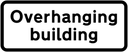 Overhanging building
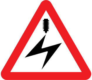 Overhead electric cable
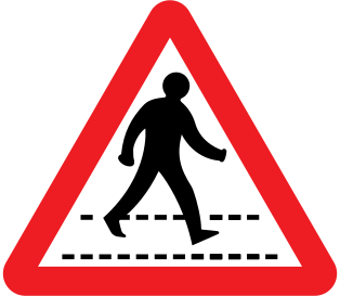 Pedestrian crossing
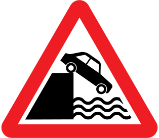 Quayside or river bank
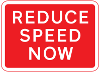 Reduce speed now
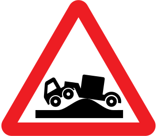 Risk of grounding
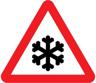 Risk of ice
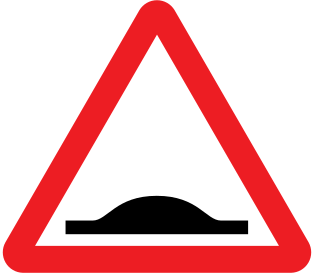 Road humps
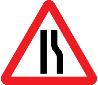 Road narrows on right
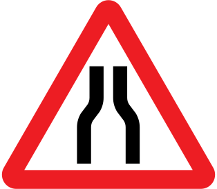 Road narrows
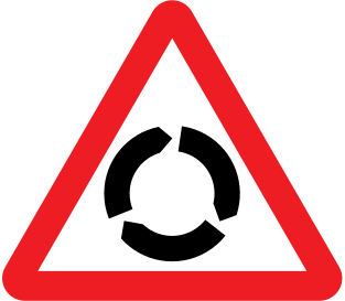 Roundabout
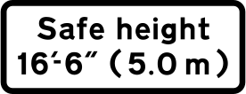 Safe height plate
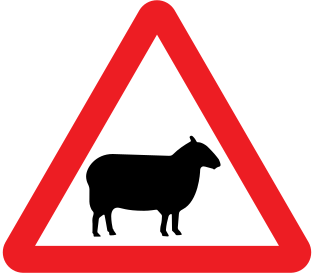 Sheep
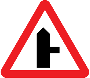 Side road
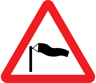 Side winds
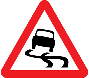 Slippery road
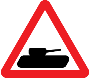 Slow-moving military vehicles
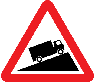 Slow-moving vehicles
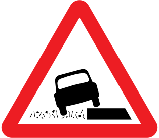 Soft verges
 St Andrew's cross
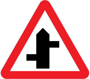 Staggered junction
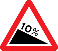 Steep hill downwards
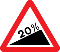 Steep hill upwards
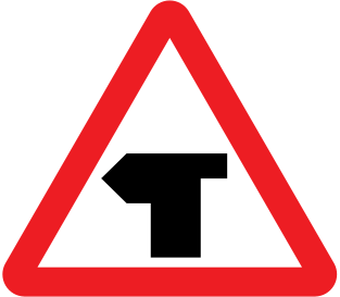 T-junction
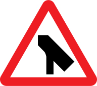 Traffic merges onto main carriageway
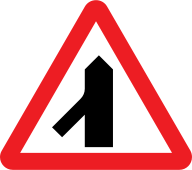 Traffic merging from left
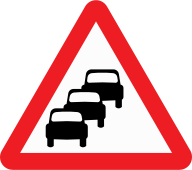 Traffic queues likely ahead
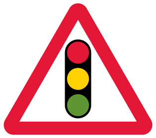 Traffic signals ahead
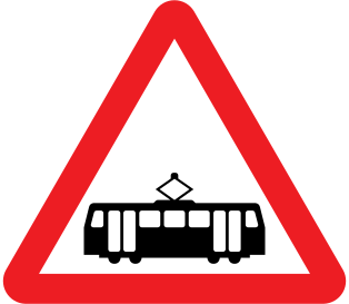 Trams crossing ahead
 Try your brakes
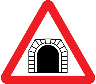 Tunnel
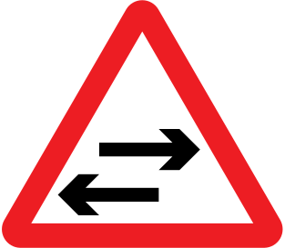 Two-way traffic crossing
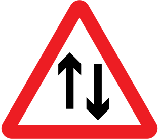 Two-way traffic
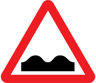 Uneven road
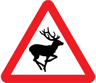 Wild animals
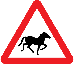 Wild horses or ponies
Regulatory signs
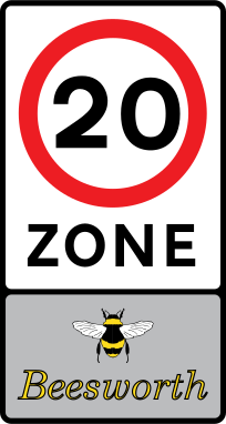 20 mph zone
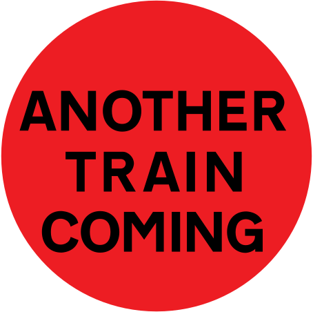 Another train coming
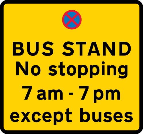 Bus stand
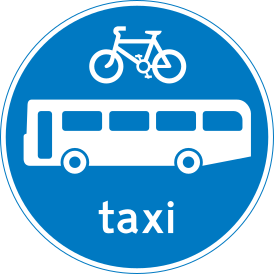 Route for buses, cycles and taxis
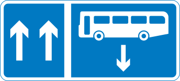 Contraflow bus lane
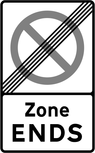 Zone ends
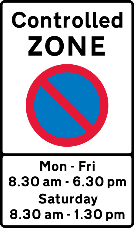 Controlled parking zone
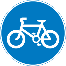 Route for pedal cycles only
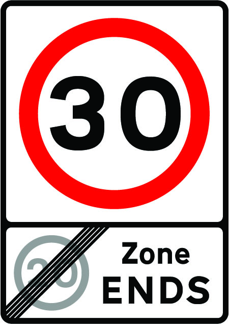 End of 20 mph zone
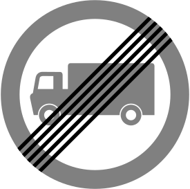 End of goods vehicles restriction
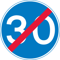 End of minimum speed
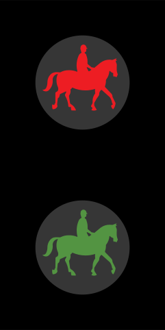 Equestrian crossing far-side signals
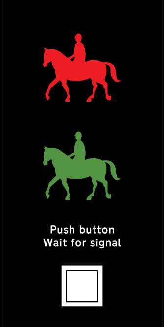 Equestrian crossing signals
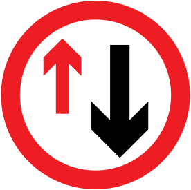 Give way to oncoming vehicles
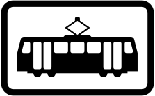 Give way to trams (tram plate)
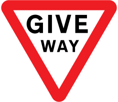 Give way
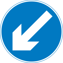 Keep left
 Lane open (green arrow)
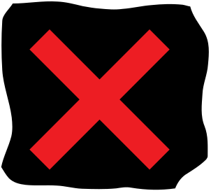 Lane closed (red cross)
 Move to the next lane (white arrow)
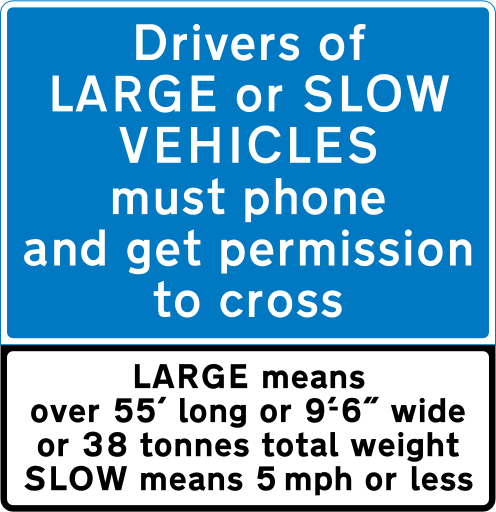 Large or slow vehicles: phone to cross
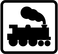 Give way to trains (locomotive plate)
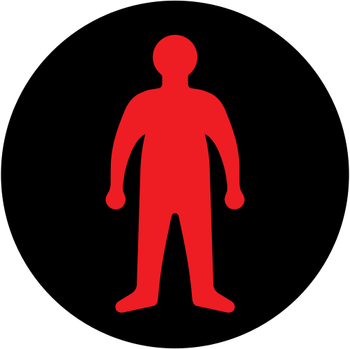 Level crossing pedestrian signal
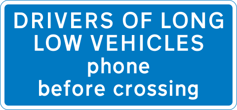 Long low vehicles: phone before crossing
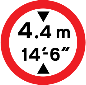 Maximum height
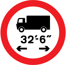 Maximum length
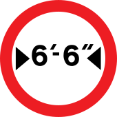 Maximum width
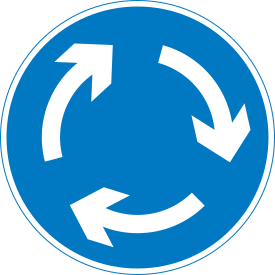 Mini-roundabout
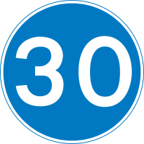 Minimum speed
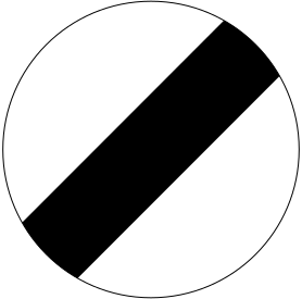 National speed limit
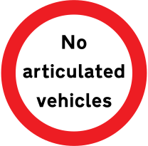 No articulated vehicles
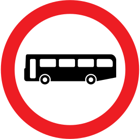 No buses
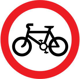 No cycling
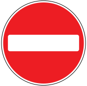 No entry
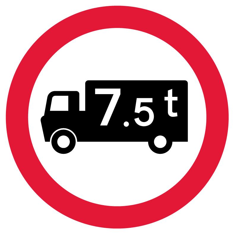 No goods vehicles over maximum gross weight
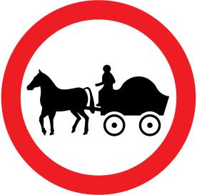 No horse-drawn vehicles
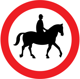 No ridden or accompanied horses
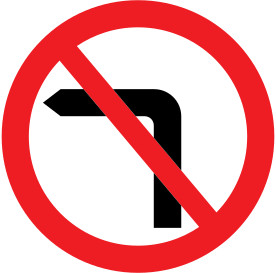 No left turn
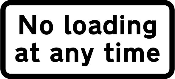 No loading at any time
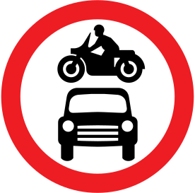
 No motor vehicles except solo motorcycles
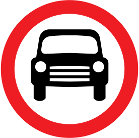
 No motor vehicles
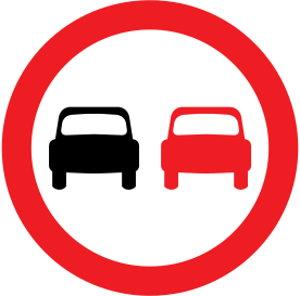 No overtaking
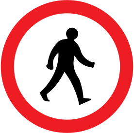 No pedestrians
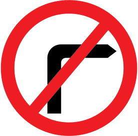 No right turn
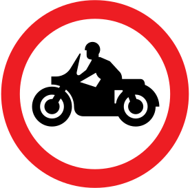 No solo motorcycles
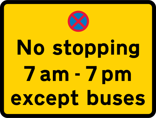 No stopping except buses
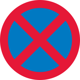 No stopping (clearway)
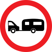 No towed caravans
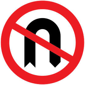 No U-turns
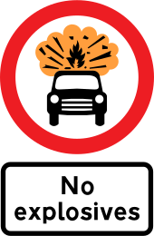 No vehicles carrying explosives
 No vehicles
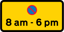 No waiting
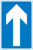 One-way traffic
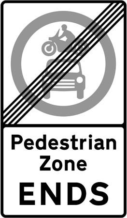 Pedestrian zone ends
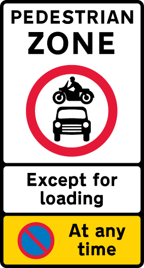 Pedestrian zone: no motor vehicles
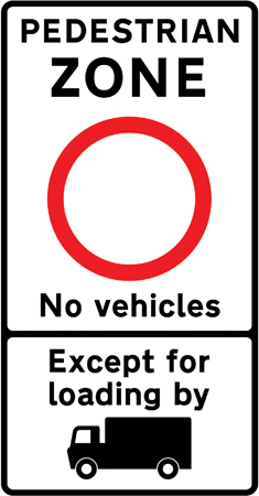 Pedestrian zone: no vehicles
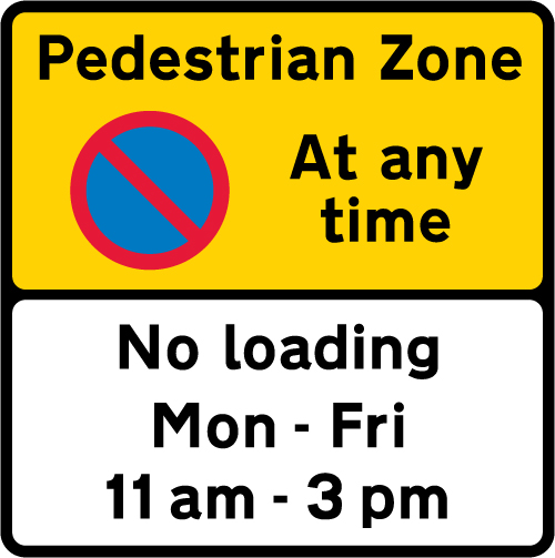 Pedestrian zone waiting restriction
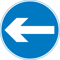 Proceed in direction indicated
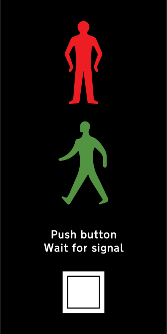 Puffin crossing signals
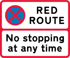 Red route: no stopping at any time
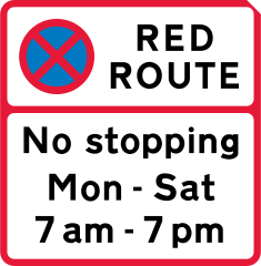 Red route: no stopping at times shown
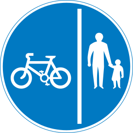 Separated route for cyclists and pedestrians
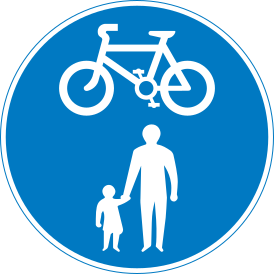 Shared route for cyclists and pedestrians
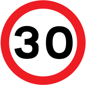 Maximum speed limit
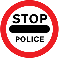 Stop (police)
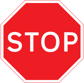 Stop
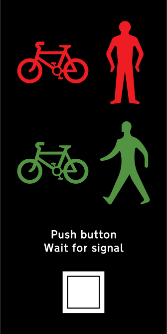 Toucan crossing signals
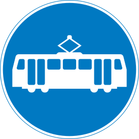 Route for trams only
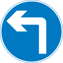 Turn left ahead
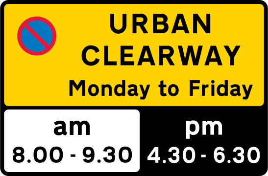 Urban clearway
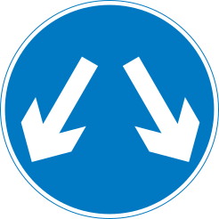 Vehicles may pass either side
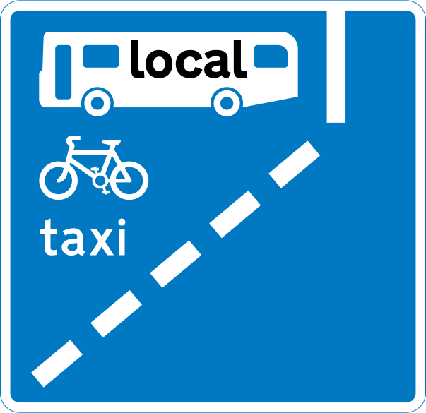 With-flow bus lane ahead
Information signs
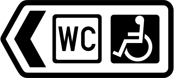 Public toilets with disabled access
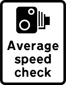 Average speed check
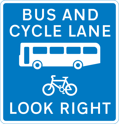 Bus and cycle lane: look right
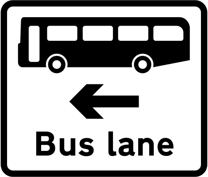 Bus lane at junction ahead
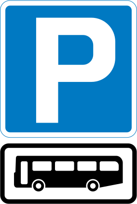 Parking for buses only
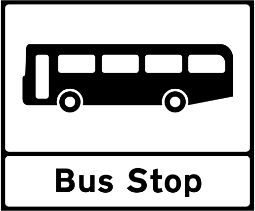 Bus stop
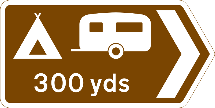 Camping and caravan site
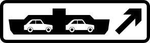 Car ferry
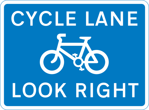 Cycle lane: look right
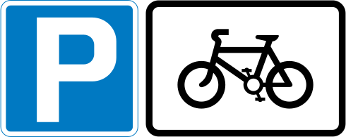 Cycle parking
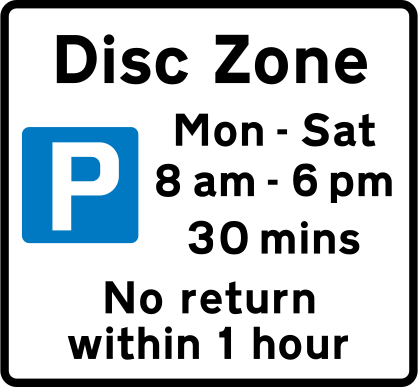 Disc zone
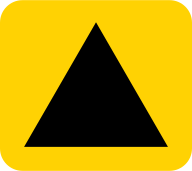 Emergency diversion route
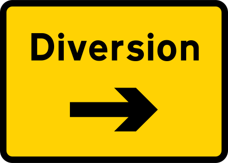 Diversion
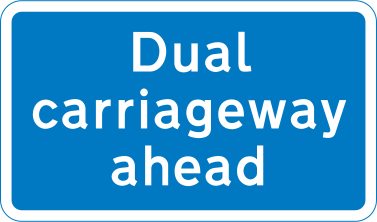 Dual carriageway ahead
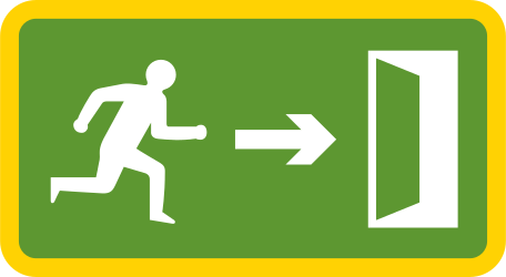 Emergency exit
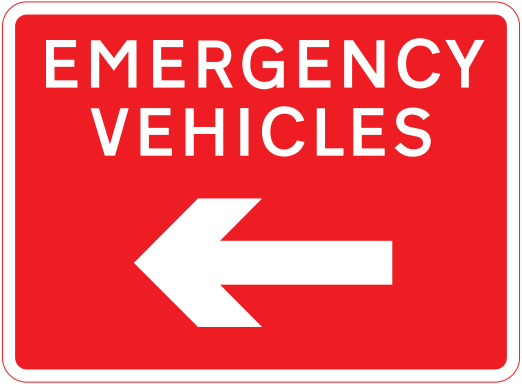 Emergency vehicles route
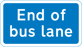 End of bus lane
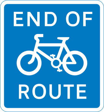 End of cycle route
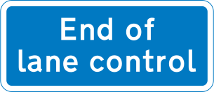 End of lane control
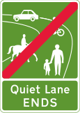 End of Quiet Lane
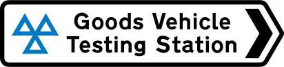 Goods vehicle testing station
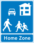 Home Zone
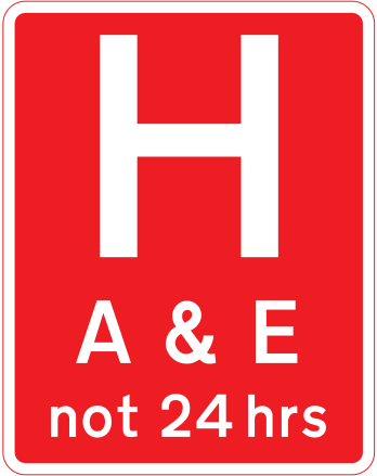 Hospital with A&E
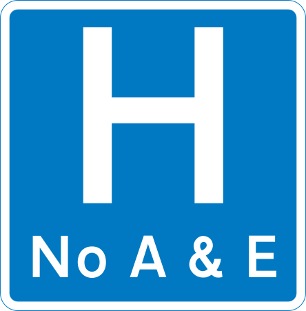 Hospital (no A&E)
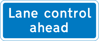 Lane control ahead
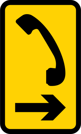 Direction to level crossing phone
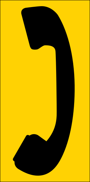 Level crossing phone
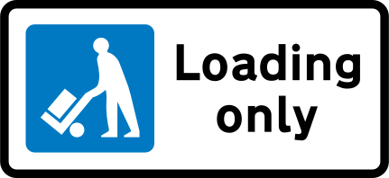 Loading only
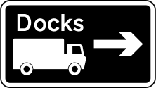 Lorry route
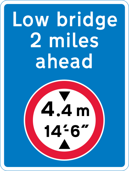 Low bridge ahead
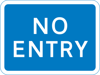 No entry (separate entrance)
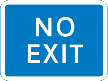 No exit (separate exit)
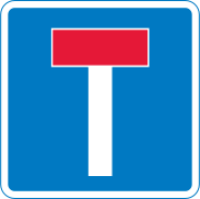 No through road
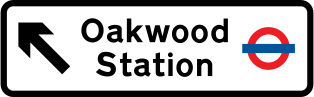 Non-primary route direction
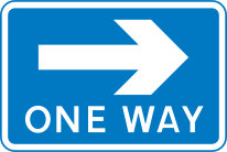 One way (pedestrian advice)
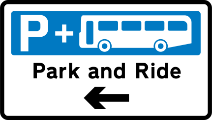 Park and Ride
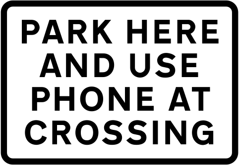 Park here and use phone
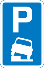 Parking partly on verge or footway
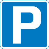 Parking place
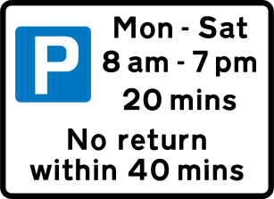 Parking with time limit
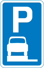 Parking wholly on verge or footway
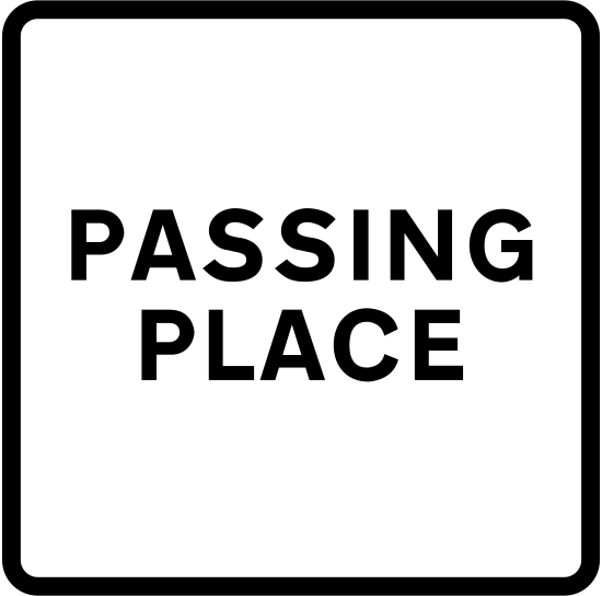 Passing place
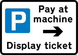 Pay and display parking
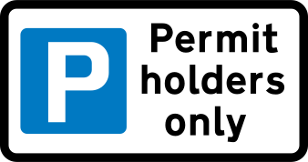 Permit holders only parking
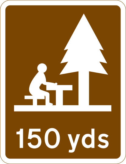 Picnic area
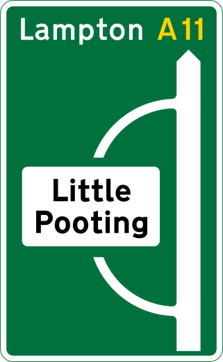 Primary route direction
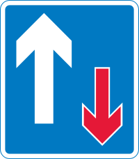 Priority over oncoming vehicles
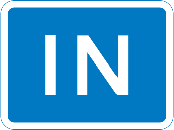 In (separate entrance)
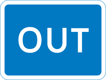 Out (separate exit)
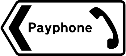 Public telephone
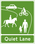 Quiet Lane
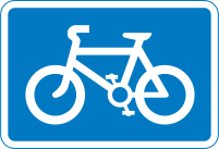 Recommended route for cycles
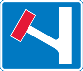 Road closed to through traffic
 Services
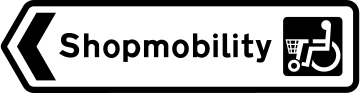 Shopmobility
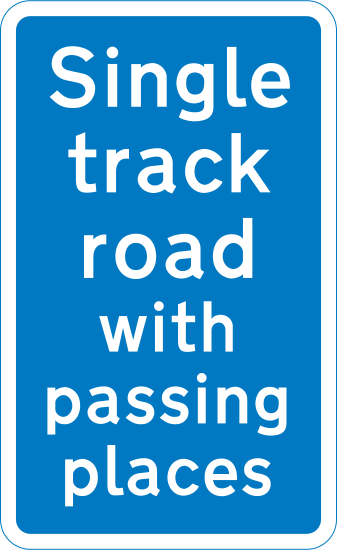 Single track road with passing places
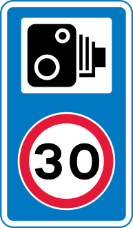 Speed camera nearby (30 mph)
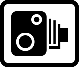 Speed camera reminder
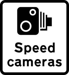 Speed cameras
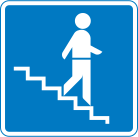 Stepped entrance to a subway
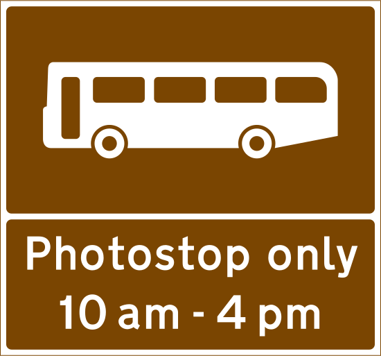 Tourist bus photo stop
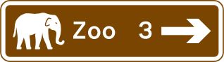 Tourist destination
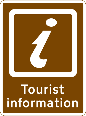 Tourist information
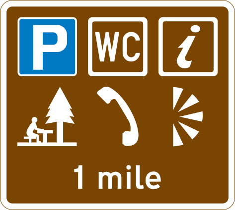 Parking with tourist facilities
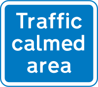 Traffic-calmed area
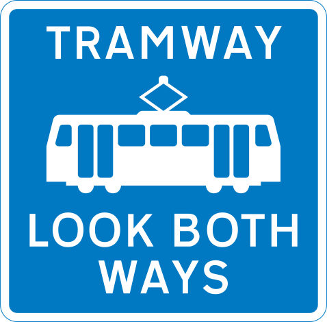 Tramway: look both ways
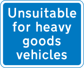 Unsuitable for heavy goods vehicles
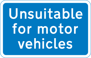 Unsuitable for motor vehicles
 Vehicle ferry
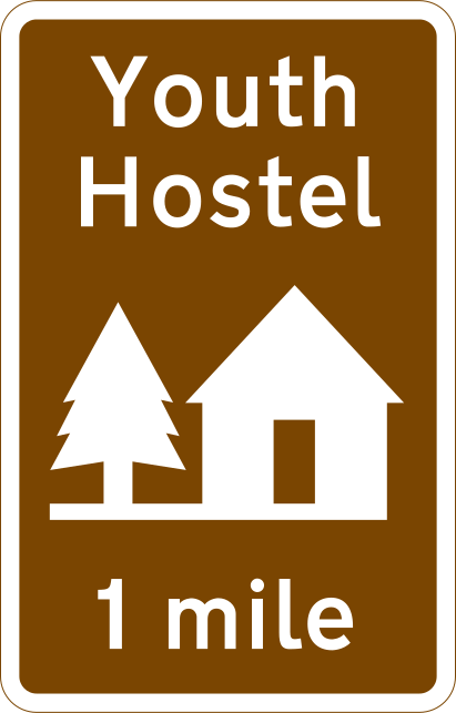 Youth hostel
Motorway signs
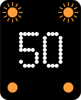 Advised speed (motorway signal)
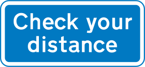 Check your distance
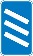 Countdown markers
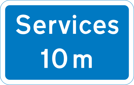 Distance to next services
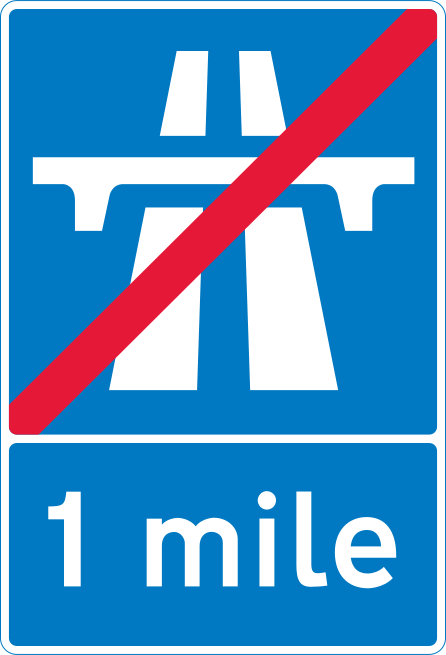 End of motorway in 1 mile
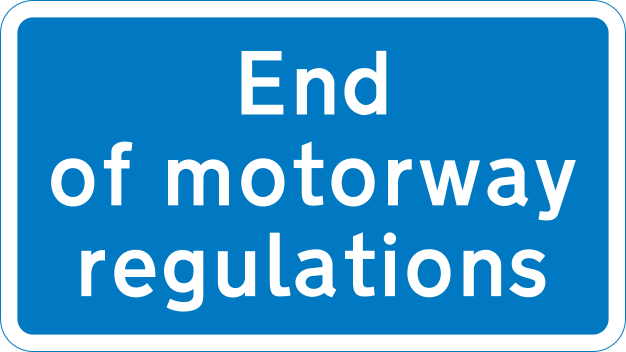 End of motorway regulations
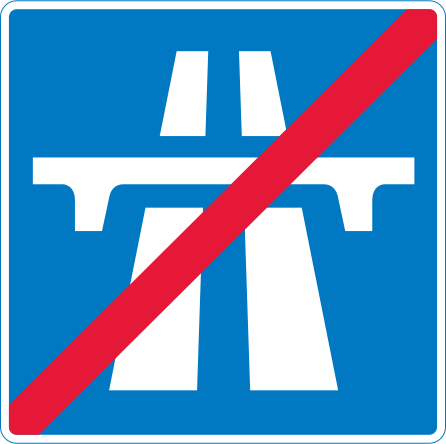 End of motorway
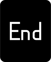 End of restrictions (motorway signal)
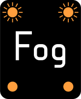 Fog warning (motorway signal)
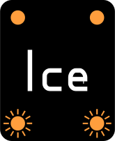 Ice signal
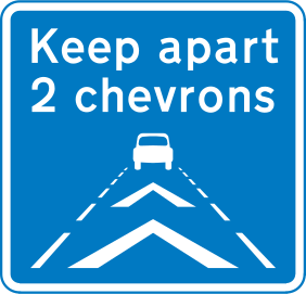 Keep apart 2 chevrons
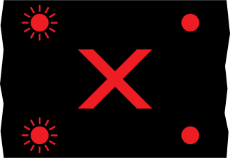 Red X: lane closed
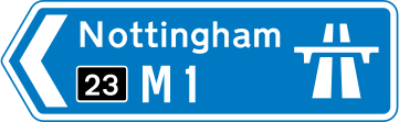 Motorway direction
 Motorway services entrance
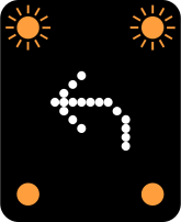 Move to adjacent lane (motorway signal)
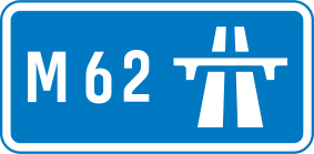 Start of motorway
Temporary signs
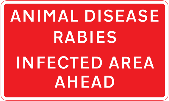 Animal disease infected area
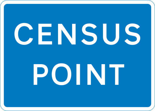 Census point
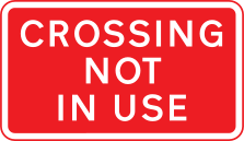 Crossing not in use
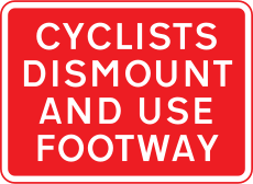 Cyclists dismount (road works)
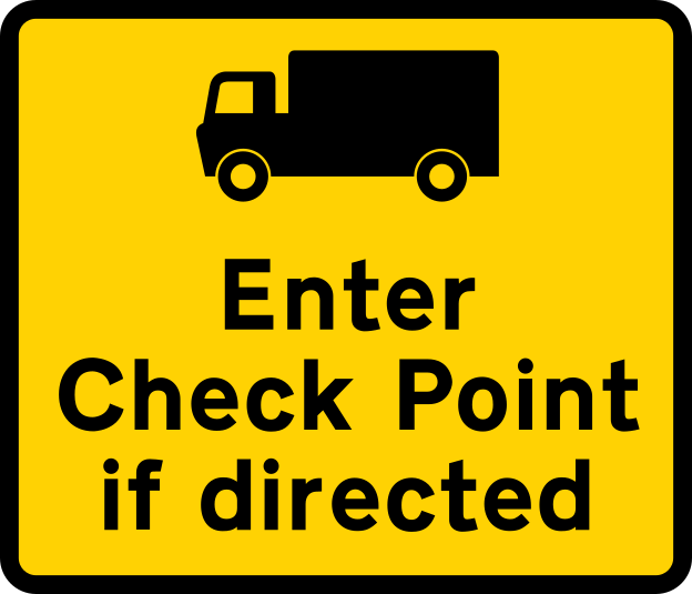 Enter check point if directed
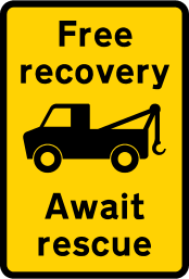 Free recovery: await rescue
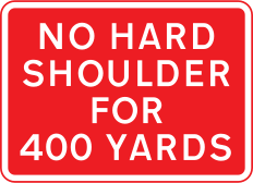 Hard shoulder closed
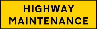 Highway maintenance
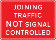 Joining traffic not signal controlled
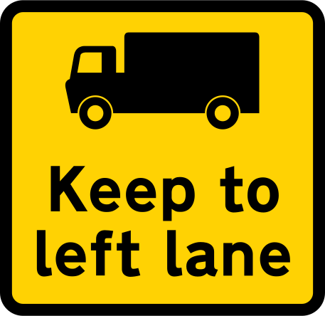 Keep to left lane (goods vehicles)
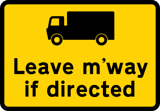 Leave motorway if directed
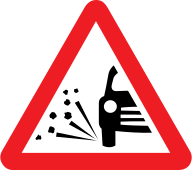 Loose chippings
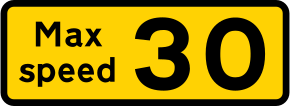 Maximum speed advised at road works
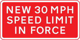 New 30 mph speed limit in force
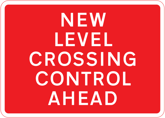 New level crossing control ahead
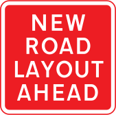 New road layout ahead
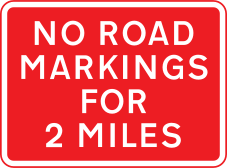 No road markings
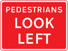 Pedestrians look left
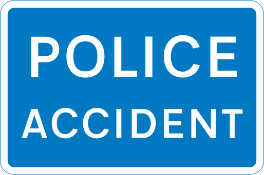 Police accident
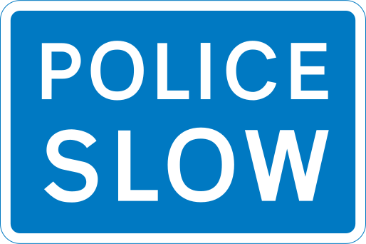 Police slow
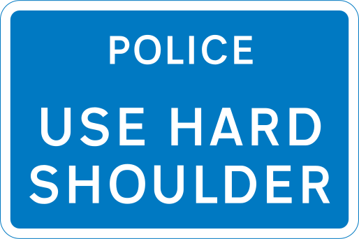 Police: use hard shoulder
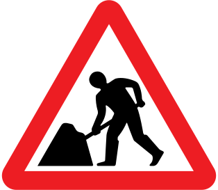 Road works
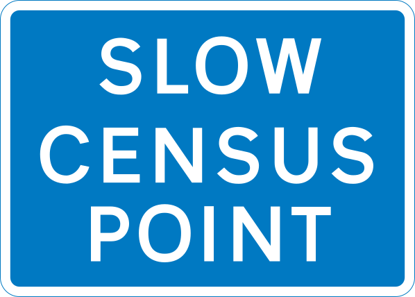 Slow census point
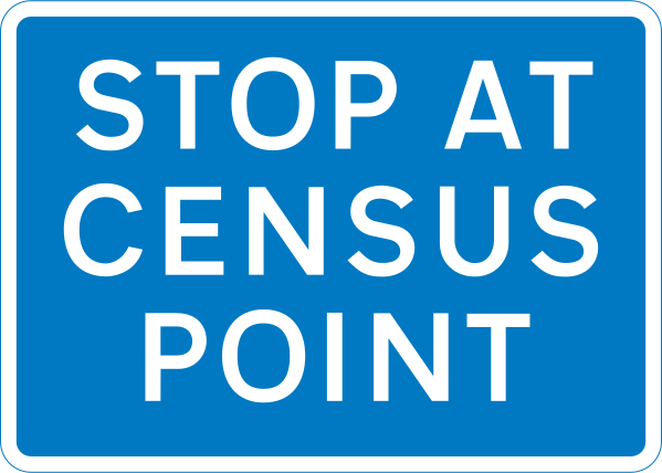 Stop at census point
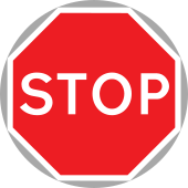 Stop/Go board
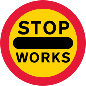 STOP WORKS
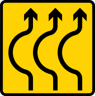 Sharp bends on temporary road
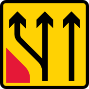 Temporary lane closure
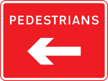 Temporary pedestrian route
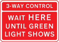 3-way signal control
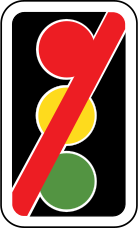 Traffic signals not in use
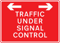 Traffic under signal control
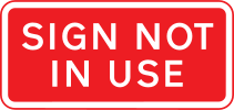 Sign not in use
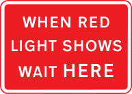 When red light shows wait here
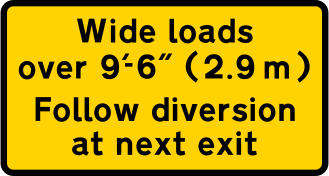 Wide loads: follow diversion
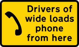 Wide loads: phone here
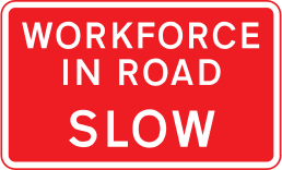 Workforce in road
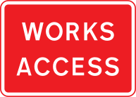 Works access
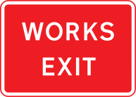 Works exit
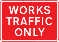 Works traffic only
More quizzes
UK Road Signs Quiz
A mix of warning, regulatory, information, motorway and temporary signs.
10 questions per attempt · 261 signs · 320 questions in the bank
Warning Signs Quiz
Junctions, bends, crossings and road surfaces: spot the hazard ahead.
10 questions per attempt · 63 signs · 88 questions in the bank
Regulatory Signs Quiz
Orders, bans and priorities: know what you must and must not do.
10 questions per attempt · 72 signs · 82 questions in the bank
Information Signs Quiz
Road layout, directions and facilities.
10 questions per attempt · 70 signs · 81 questions in the bank
Motorway Signs Quiz
Motorway rules, exits and overhead signals.
10 questions per attempt · 16 signs · 25 questions in the bank
Temporary Signs Quiz
Road works, advised speeds and temporary hazards.
10 questions per attempt · 40 signs · 44 questions in the bank
Road Markings Quiz
Yellow lines, white lines, box junctions and zig-zags: know what the road is telling you.
10 questions per attempt · 10 signs · 20 questions in the bank